Track Construction Progress with Accurate Drone Monitoring.
Construction projects move fast, but without regular site updates, delays, progress, and critical changes can easily go unnoticed.
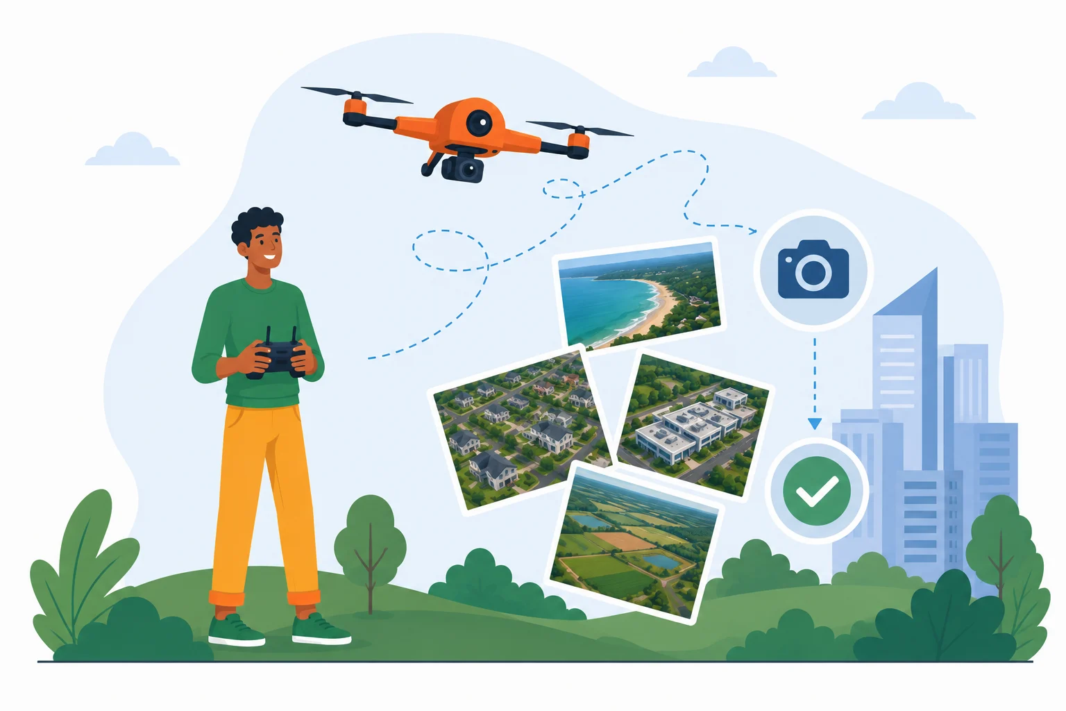
Whether you’re managing a residential project, commercial complex, industrial facility, infrastructure development, or large-scale township, professional drone photography provides accurate aerial updates that help you make informed decisions and keep every stakeholder aligned.
At AerialGO, we deliver professional drone aerial photography that captures your construction site’s development from the sky, helping builders, developers, contractors, architects, project managers, and investors monitor progress with confidence.
From foundation work to project completion, we document every stage with high-resolution aerial imagery.
Why Construction Projects Need Regular Aerial Capture.
Construction projects involve multiple teams, strict deadlines, and continuous site activities.
Traditional site inspections often have limitations:
- Difficult to capture the entire project at once
- Progress updates depend on manual reporting
- Remote stakeholders cannot easily visualize development
- Delays and bottlenecks may go unnoticed
- Marketing teams lack updated project visuals
- Comparing progress over time becomes challenging
- Large construction sites require significant time to inspect
Without a clear aerial overview, project monitoring becomes less efficient and decision-making becomes more difficult.
Every missed update can lead to unnecessary delays, communication gaps, and increased project costs.
The AerialGO Difference.
Monitor Every Stage with Complete Aerial Visibility.
Our professional drone photography services provide comprehensive visual documentation of your construction project throughout its lifecycle.
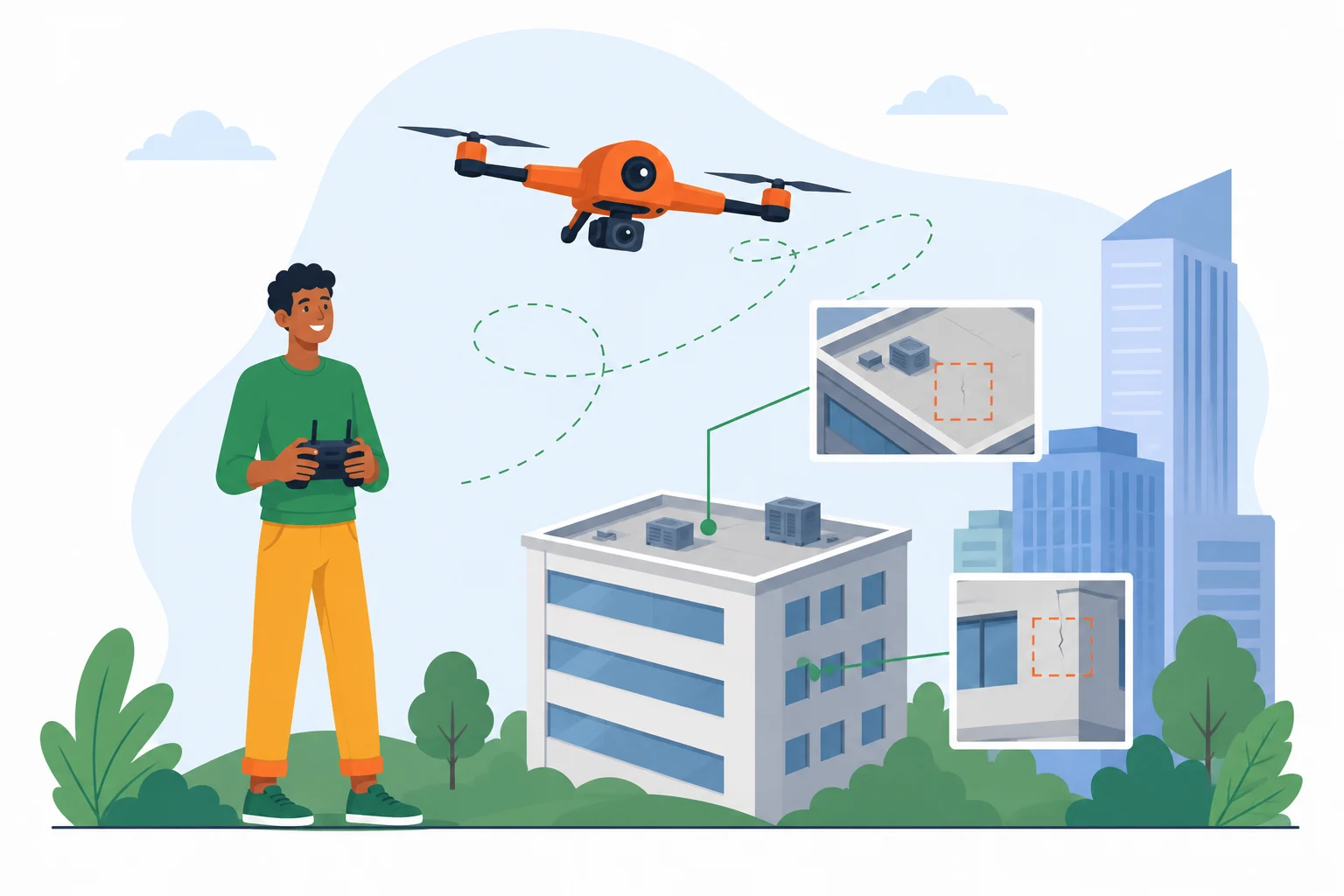
Instead of relying solely on ground inspections, drone imagery offers a complete aerial perspective of the site.
Your project team can easily monitor:
- Overall construction progress
- Structural development
- Earthwork activities
- Road and infrastructure development
- Material storage areas
- Equipment deployment
- Site accessibility
- Safety planning
- Project milestones
Regular aerial documentation helps improve project coordination, communication, and reporting.
Who Can Benefit?
Our construction site aerial photography services are ideal for:
- Real Estate Developers
- Construction Companies
- Civil Contractors
- Infrastructure Developers
- Industrial Projects
- Architects
- Project Management Consultants
- Government Departments
- Engineering Firms
- Smart City Projects
- Township Developers
- Investors
- EPC Contractors
Whether you’re managing a small residential project or a large infrastructure development, aerial monitoring keeps everyone informed with accurate visual updates.
What You’ll Receive.
Every flight is customized based on your reporting requirements.
Your deliverables include:
- High-resolution aerial photographs
- Wide aerial site overview images
- Multiple aerial perspectives
- Project milestone photography
- Construction timeline images
- Visuals for marketing
- Images for the website & social media
- Print-quality photographs
Why Businesses Choose Drone Photography for Construction Progress Monitoring.
Drone monitoring is more than just taking photographs – it’s an efficient project management tool.
Our clients use aerial photography to:
- Monitor project progress accurately
- Improve communication between stakeholders
- Document every construction milestone
- Identify potential delays early
- Create visual progress reports
- Keep remote investors updated
- Reduce frequent physical site visits
- Improve project presentations
- Generate marketing content for ongoing developments
Better visibility leads to better project management.
Why Choose AerialGO?
Professional Drone Pilots.
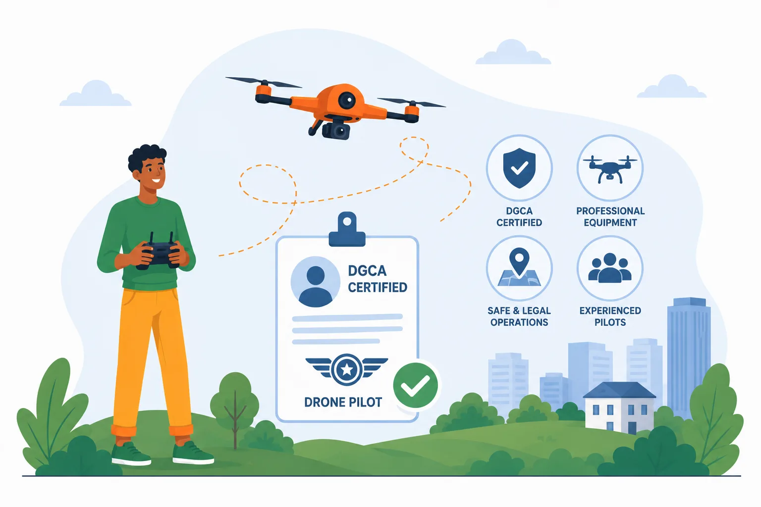
Experienced and DGCA-certified drone pilot providing safe and reliable aerial service throughout your project.
High-Resolution Site Images.
Capture every stage of construction with clear, detailed aerial imagery with a professional camera drone.
Customized Monitoring Schedule.
Choose one-time, weekly, fortnightly, or monthly monitoring based on your project needs.
Safe & Responsible Operations.
Drone flights are conducted responsibly while following applicable aviation regulations and operational best practices.
Fast Delivery.
Receive your aerial photographs quickly to support project reviews and decision-making.
Flexible Monitoring Solutions.
From residential buildings to highways and industrial developments, every project receives the same professional attention.
Our 3-Step Simple Process.
- Contact us for a free consultation: Tell us about your project, monitoring frequency, and reporting requirements. We’ll recommend the most suitable photography schedule for your project
- Schedule the Drone Flights: Choose one-time or recurring aerial photography. Our drone pilot captures your project from carefully planned aerial viewpoints.
- Receive Your Deliverables: You’ll receive aerial photographs ready for project reviews, presentations, stakeholder meetings, and marketing.
Areas We Serve.
We provide construction site aerial photography services across Ahmedabad and Gandhinagar and can undertake projects throughout Gujarat.
Service Conditions.
- Drone flights are subject to suitable weather conditions.
- Operations follow applicable DGCA regulations and local airspace restrictions.
- Site access and necessary permissions must be arranged before scheduled flights.
- Flight schedules may change due to weather or operational safety.
- Pricing depends on project size, monitoring frequency, and location.
- Travel charges may apply outside our standard service areas.
Frequently Asked Questions (FAQs).
What types of construction projects do you capture?
We capture residential projects, commercial buildings, industrial developments, infrastructure projects, highways, bridges, townships, and large construction sites.
Which locations do you serve?
We provide construction site monitoring services across Ahmedabad and Gandhinagar and undertake projects throughout Gujarat.
How often can you monitor my project?
We offer one-time, weekly, monthly, or customized monitoring schedules based on your project requirements.
How quickly will I receive the images?
Delivery depends on project scope, but we always strive for a prompt turnaround after each site visit.
Can you monitor large infrastructure projects?
Yes. Our drone services are suitable for everything from individual buildings to highways, industrial plants, solar farms, and township developments.
Can the images be used for marketing?
Absolutely. The aerial photographs can be used for websites, brochures, social media, investor presentations, and promotional campaigns.
Keep Your Project on Track with Professional Aerial Monitoring
Construction is constantly evolving, and regular aerial documentation ensures that every milestone is captured, every stakeholder stays informed, and every decision is backed by accurate visual data.
Whether you’re managing a residential building, commercial project, industrial facility, or major infrastructure development, AerialGO helps you monitor progress efficiently with professional drone aerial photography.