Turn Property Views Into Buyer Inquiries with Professional Drone Photography.
A property that looks extraordinary gets noticed. A property that gets noticed gets inquiries.
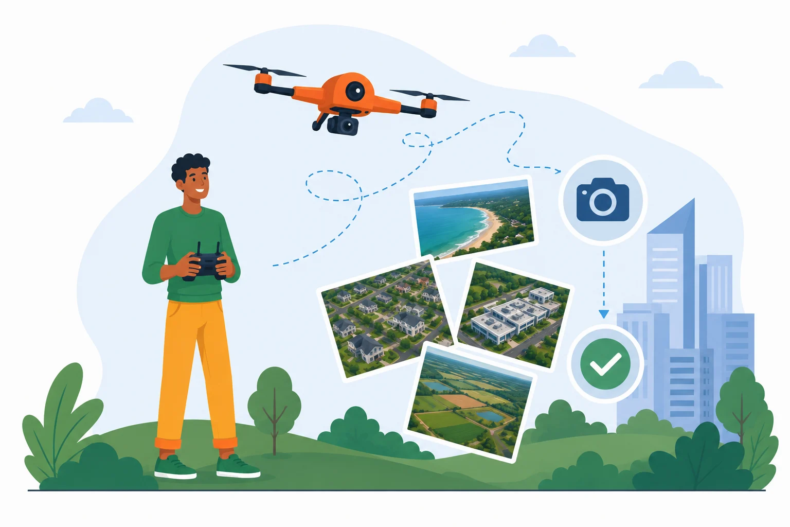
Whether you’re selling a residential plot, commercial land, industrial property, luxury villa, or large township, professional aerial photography helps buyers understand your property’s true value before they even schedule a visit.
At AerialGO, we provide premium drone aerial photography that showcases your property’s scale, location, surroundings, and accessibility, helping builders, developers, real estate agents, architects, and landowners market properties more effectively.
From 1-acre plots to 500-acre developments, we help your property make a powerful first impression.
Why Most Property Listings Fail to Generate Enough Enquiries.
Have you ever noticed how many property listings receive very little attention despite being in excellent locations?
The problem usually isn’t the property; it’s how it’s presented.
Traditional ground photography often fails to show the following:
- The actual size of the property
- Road connectivity
- Nearby landmarks and infrastructure
- Property boundaries
- Development potential
- The surrounding neighborhood
- The complete layout
As a result, buyers struggle to visualize the property, lose interest quickly, and move on to competing listings.
Every missed inquiry is a missed opportunity.
The AerialGO Difference.
Give Buyers the Complete Picture Before They Visit.
Our professional drone photography transforms ordinary property listings into visually compelling marketing assets.
Instead of showing just a building or a small section of land, we reveal the entire property and its surroundings from carefully planned aerial perspectives.
Your buyers instantly understand:
- Property size
- Access roads
- Highway connectivity
- Nearby schools, hospitals, and commercial areas
- Natural surroundings
- Development progress
- Location advantages
- Overall property value
This creates confidence, builds trust, and encourages buyers to take the next step.
Who Can Benefit?
Our aerial photography services are trusted by:
- Real Estate Developers
- Builders
- Property Consultants
- Real Estate Brokers
- Land Owners
- Architects
- Construction Companies
- Infrastructure Developers
- Industrial Estates
- Resort Owners
- Educational Institutions
- Government Agencies
Whether you’re selling one plot or an entire township, professional aerial imagery gives your marketing a competitive advantage.
What You’ll Receive.
Every project is planned around your marketing goals.
Your deliverables include:
- High-resolution aerial photographs
- Wide-landscape aerial views
- Close-up property images
- Multiple camera perspectives
- Property overview photographs
- Website-ready images
- Social media-ready visuals
- Marketing brochure photographs
- Print-quality image files
- Sunrise or sunset photography (available on request)
- Raw image files (optional)
Why Businesses Choose Drone Photography.
Drone photography is more than beautiful imagery; it’s a powerful marketing investment.
Our clients use aerial photography to:
- Generate more buyer inquiries
- Increase property visibility online
- Showcase premium developments professionally
- Highlight nearby roads and infrastructure
- Build investor confidence
- Reduce unnecessary property visits
- Improve marketing campaigns
- Create stronger first impressions
- Differentiate listings from competitors
When buyers can clearly understand your property, they’re far more likely to contact you.
Why Choose AerialGO?
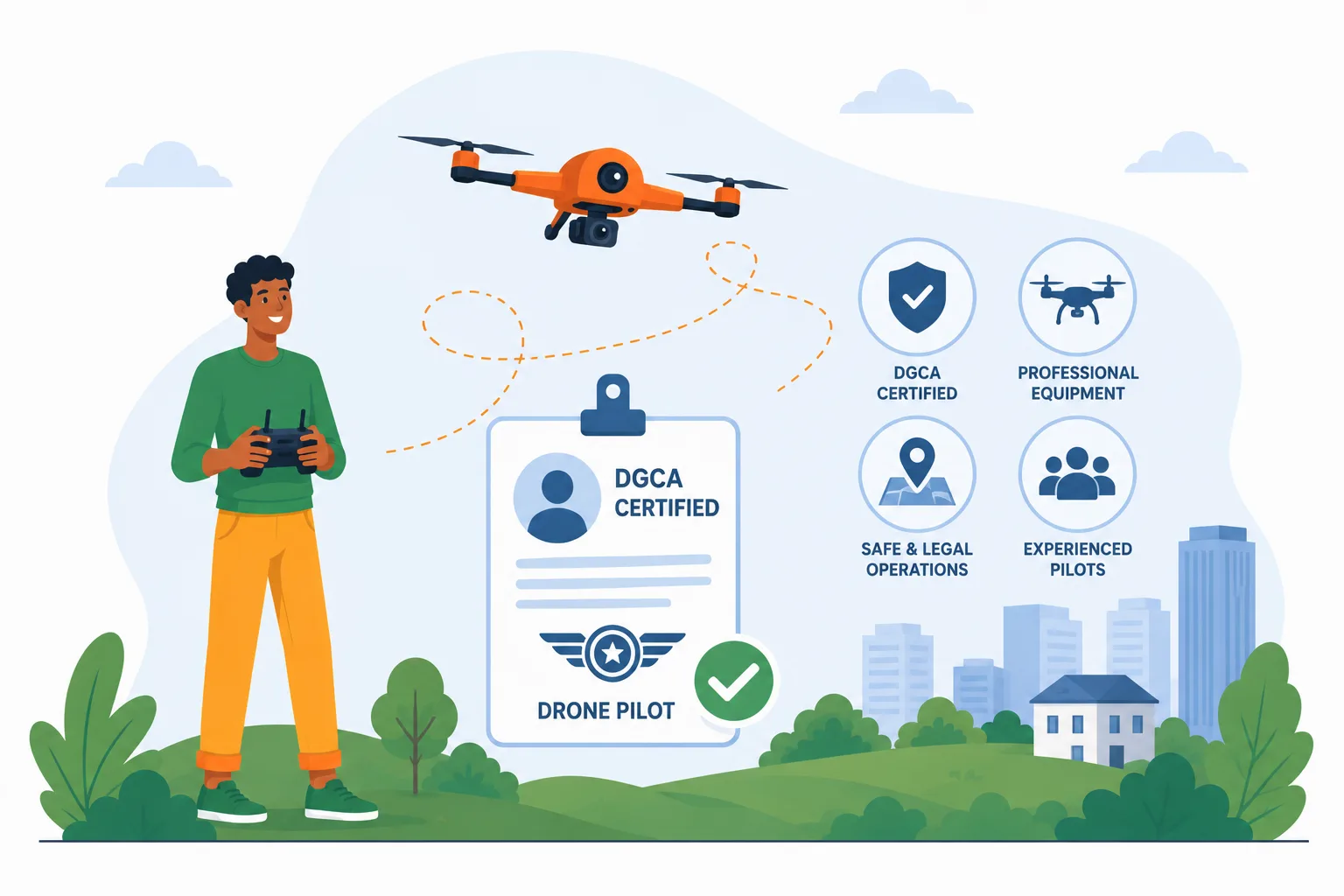
Professional Drone Pilots.
Experienced drone professionals committed to capturing every property safely and efficiently.
Premium Image Quality.
High-resolution aerial photography that showcases every important detail.
Customized Flight Planning.
Every property receives a tailored flight plan to capture the most attractive viewpoints.
Safe & Responsible Operations.
Drone missions are conducted responsibly while following applicable aviation regulations and operational best practices.
Fast Turnaround.
Quick delivery helps you start marketing your property sooner.
Flexible Solutions.
From residential plots to large commercial developments, every project receives the same professional attention.
Our 3-Step Simple Process.
- Contact us for a free consultation: Tell us about your property and your marketing objectives. We recommend the best photography approach based on your project.
- Schedule the shoot for drone photography: Choose a convenient date and time. Our professional drone pilot captures your property from carefully planned aerial angles.
- Receive your images: You’ll receive high-quality aerial photographs ready for websites, social media, brochures, advertisements, and print marketing.
Areas We Serve.
We provide real estate and land aerial photography services across Ahmedabad and Gandhinagar and can undertake projects throughout Gujarat.
Service Conditions.
- Drone flights are subject to suitable weather conditions.
- Operations follow applicable DGCA regulations and local airspace restrictions.
- Property owner authorization is required before every flight.
- Flight schedules may change due to weather or operational safety.
- Pricing depends on project size, location, and requirements.
- Travel charges may apply outside our standard service areas.
Frequently Asked Questions (FAQs).
What types of properties do you photograph?
Residential plots, villas, apartments, commercial properties, industrial land, farmhouses, agricultural land, construction projects, resorts, hotels, and large developments.
Which locations do you serve?
We provide aerial photography services throughout Ahmedabad and Gandhinagar and undertake projects throughout Gujarat.
How long does a photography session take?
Most projects are completed within 30 minutes to 2 hours, depending on property size and requirements.
When will I receive my photographs?
Delivery depends on project scope, but we always strive for a prompt turnaround.
Can you photograph very large land parcels?
Yes. We regularly photograph everything from individual plots to large industrial and township developments.
Can you capture sunrise or sunset shots?
Yes. Golden-hour photography is available upon request for premium visual impact.
Ready to Showcase Your Property Like Never Before?
Your property deserves more than ordinary photographs.
Professional aerial imagery helps buyers see its full potential, understand its location, and appreciate its true value—all before visiting the site.
Whether you’re marketing a residential plot, commercial development, luxury villa, industrial property, or a large land parcel, AerialGO helps you create a powerful first impression that generates inquiries.