Our Real Estate and Land Aerial Photography Services are designed to help Builders, Developers, Property Owners, Property Consultants, Architects, Planners and Real Estate Professionals present properties with clarity, scale, and visual impact. Using a high resolution camera drone, we capture professional aerial photos and videos of Plots, Villas, Farmhouses, Commercial Buildings, and open land.
Aerial photography allows potential buyers, investors, and planners to clearly understand property layout, surroundings, access roads, and nearby development something ground photography cannot achieve. All operations are conducted safely, during daylight hours, and strictly for visual documentation only, in full compliance with DGCA guidelines.
We focus on clean, well framed visuals that support property marketing, planning, presentations, and official records. Deliverables are optimized for use on websites, brochures, presentations, reports, and digital listings.
What Aerial Photography Service includes?
- High resolution aerial photography captured using a stabilized camera drone for accurate visual representation.
- Short, smooth cinematic aerial video clips with controlled flight paths and steady camera movement.
- Clear aerial coverage of property boundaries, access roads, surrounding development, and site context.
- Professional processing including color correction, framing, and organized digital delivery for easy use in reports and presentations.
Why choose our Aerial Photography service
- Certified and safe drone operations deliver clear, professional visuals that build confidence.
- Cost effective aerial presentation solutions support marketing goals without compromising quality.
- Reliable delivery, transparent pricing, and consistent execution ensure dependable client experience.
What are the Risk, Cancellation & Rescheduling conditions?
- Drone flights are avoided during rain, strong winds, or poor visibility.
- Operations are restricted near airports, defense zones, or regulated airspace.
- Flights are not conducted over people, crowds, or active public areas.
- Site access and required permissions must be arranged before scheduled operations.
- Schedules may change due to weather, safety, or regulatory conditions.
- Free cancellation up to 24 hours before the scheduled service.
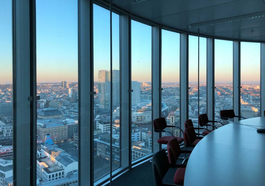
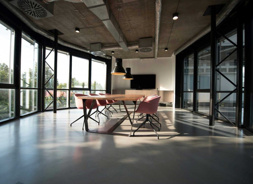
Check out recent Images


Our Real Estate & Land Aerial Photography Services offer a modern, safe, and professional way to showcase property from the best possible perspective. We help you focus on selling, planning, and promoting your property. Confident that every aerial capture is handled with precision, compliance, and expertise.
Request a Quote to elevate your property presentation from above.
